


1MG FlippingBooks
AI technology identifies paddock boundaries from space
Elizabeth Gracie

Australia’s leading science agency, the CSIRO, has developed an artificial intelligence (AI) mapping technology that simplifies the process for farmers to use digital farm analytics and insights.
The E-Paddocks technology can be used to identify the individual boundaries of the 1.7 million paddocks in Australia’s grain-growing region from space and will provide a more efficient alternative to current farm management software that requires users to manually draw paddock boundaries for every service they use.
According to CSIRO remote sensing specialist Dr Franz Waldner, the paddocks technology is a combination of accuracy, detail and user-friendliness.
“Paddock boundaries have been highly sought after in the digital agriculture world for a little while now, but we’ve tackled it over the past year or so with new technologies and solved it,” said Dr Waldner.
“The satellite images we use, although publicly available, are cumbersome to download, store and analyse by the average person.
“So we apply our deep neural network and algorithms to produce the paddock boundaries based on vegetation signatures and land features.”
And whilst the technology has the capability to identify paddock boundaries as they shift from season to season, creating a historical record that has not previously existed, they do not identify the landowners of the paddocks.
“Our method only needs one satellite image taken at any point in the growing season to distinguish the boundaries. It relies on data-driven processes and decisions rather than assumptions about what’s on the ground”.
Dr Waldner believes that the E-Paddocks technology will set the standard for future geospatial digital agriculture products to be used to improve land use maps and track species richness.
NEWS
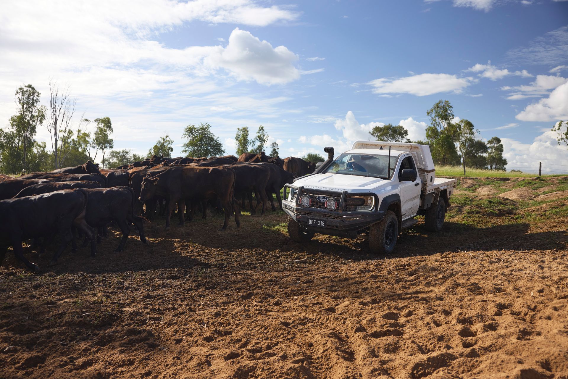
After four years of customer research and 500,000 test kilometres, Ford says the Ranger Super Duty brings farmer-driven customisation into the factory, with more towing, payload, and durability built in.

StockLive runs weekly online commercial sales for cattle and sheep —
giving agents, producers and buyers a simpler, more transparent way to
trade livestock nationally.
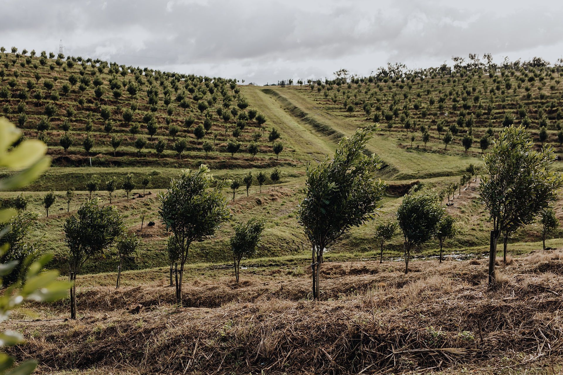
YaraRega helps macadamia growers improve nutrient efficiency and operational flexibility through fertigation or dry application, supporting consistent tree performance, productivity, and seasonal nutrient management
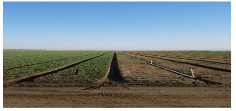
The global agricultural landscape is currently weathering a perfect storm. With ongoing conflict in the Middle East and instability involving major trade routes, the supply chain for traditional synthetic fertilisers has been pushed to the brink. For Australian farmers, this isn’t just a headline, it’s a direct hit to the bottom line, with skyrocketing costs and looming shortages threatening the next harvest.
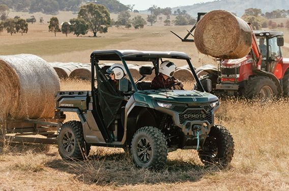
The U10 Pro Range redefines what a top‑tier full‑size UTV can be, launching a bold new era for the UFORCE family — now offered in three distinct models

Australian farmers are facing overwhelming pressure. They shouldn’t have to face this alone.
